2020 / Day 10: grid
Data
Estonian Motor Insurance Bureau and the Estonian Insurance Association Estonian Land Board Topographic Database roads layer
Tools
PostGIS, QGIS.
Summary
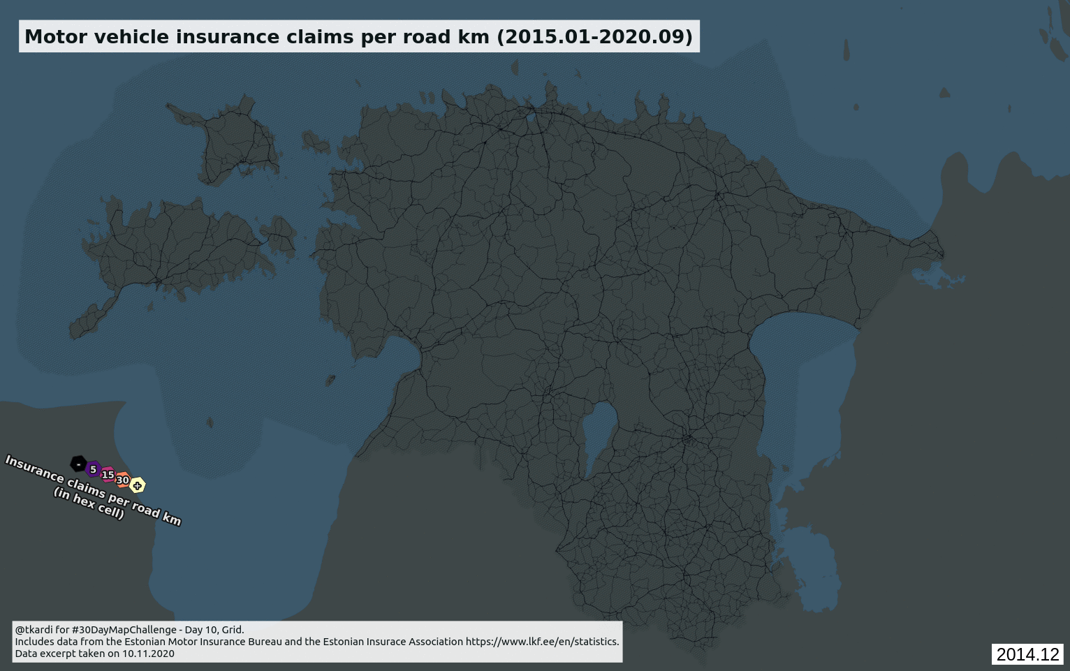
Reusing a 1km hex grid I had created previously in PostGIS for I can’t remember what reason and simply learning some moving window statistics calculations which I had not really done before. So we have Insurance claims per road km in a hex cell.
Motor vehicle insurance claims since 2015 per road km in hex.
— Tõnis Kärdi (@tkardi) November 11, 2020
Data from Estonian Motor Insurance Bureau and the Estonian Insurance Association https://t.co/5TrbmwCM8F#30DayMapChallenge Day 9 and everything is Grid. pic.twitter.com/4OWInuUofv