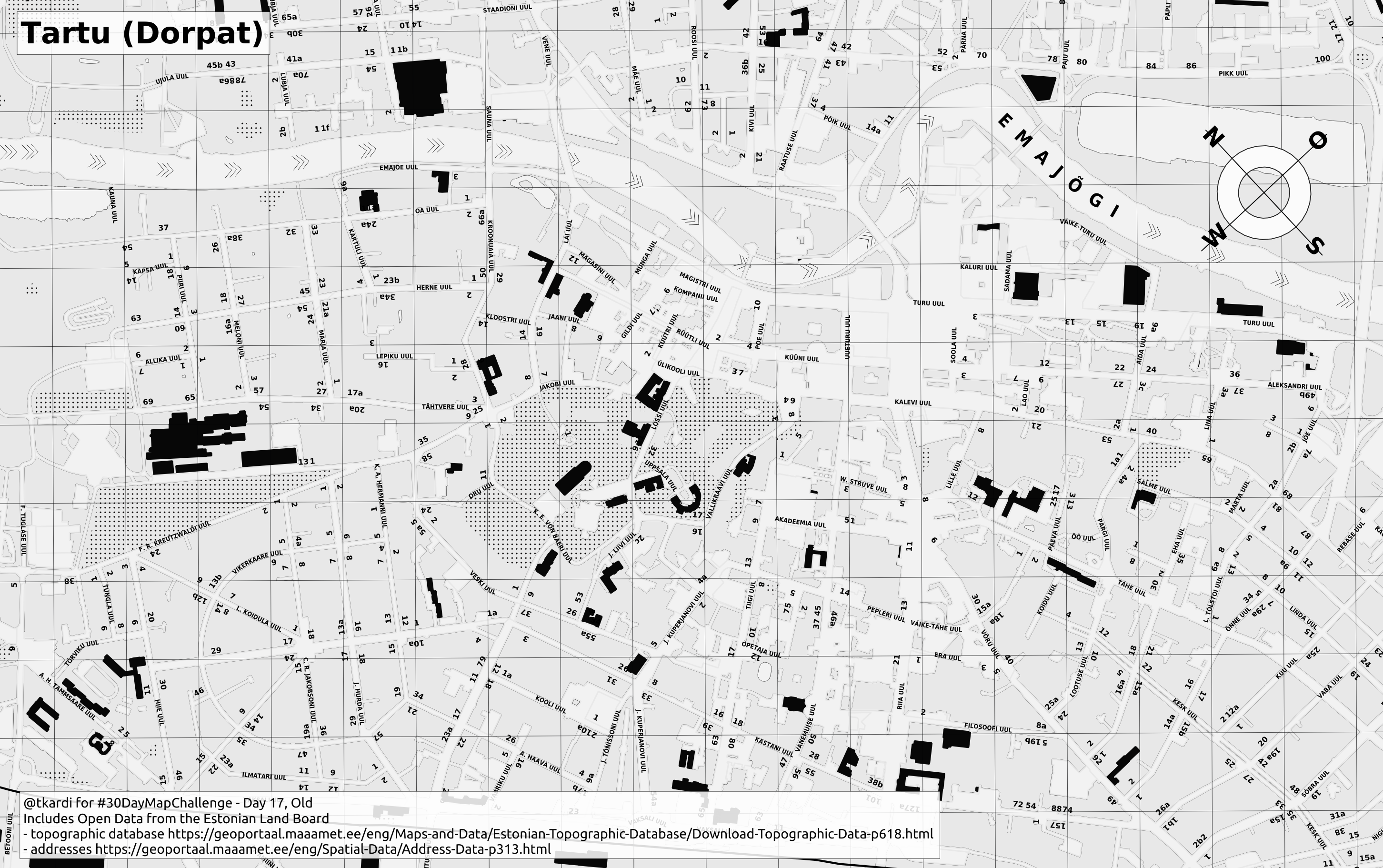
2020 / Day 17: old
Data
The Estonian Land Board:
Tools
PostGIS, QGIS.
Summary
Looking into kinda-trying-to-replicate this 1912 plan of Tartu https://t.co/uUAeBlrXGD with the latest open data from Estonian Land Board.
— Tõnis Kärdi (@tkardi) November 17, 2020
This is #30DayMapChallenge day 17, Old. pic.twitter.com/DpN3adT4Oc